
- CGWA / RGI accredited
- Ex-CGWB & CGWA leadership
- RGI-certified water auditor
Former regulators.
Now on your side.
CGWA NOC, impact assessment and groundwater modelling for industry, mines and infrastructure, from the people who used to run CGWB and CGWA.
or call +91 98110 25130 · WhatsApp
Trusted by industry leaders



































Groundwater and surface water expertise, under one roof
CGWA NOC & Impact Assessment
NOC applications, Impact Assessment Reports with or without groundwater modelling, renewals and compliance.
MinesMining Hydrogeology
Comprehensive Hydrogeological Reports, mine seepage and dewatering estimates, EAC and CGWA support.
All sectorsGroundwater, Flood & Climate Modelling
MODFLOW, SEAWAT and transport models, HEC-RAS flood modelling and climate change impact on water availability.
FieldGeophysical Investigations
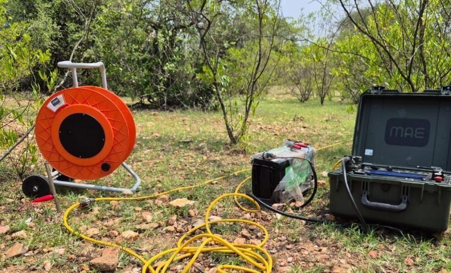
2D/3D Electrical Resistivity Tomography and VES for aquifer geometry, fractures and well siting.
FieldHydrogeological Surveys, Drilling & Aquifer Mapping
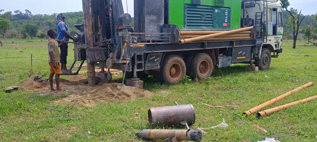
Exploratory drilling, aquifer mapping, pumping tests, water quality and resource assessment.
Corporate · ComplianceWater Audit, Neutrality & ESG
RGI-certified water audits, water neutrality and water risk assessment, and ESG reporting support.
SustainabilityRecharge & Water Security
Rainwater harvesting, managed aquifer recharge, water-body revival and water security plans.
Coastal aquifers, remediation, flood studies, GIS and more →
Start with your question
Will my NOC need a groundwater model?
Para 8 of the 2023 amendment decides it. Check in seconds.
How far will my pumping affect neighbouring wells?
Radius of influence and drawdown from a calibrated model.
Can a mine pit be dewatered without drying out villages?
Seepage by pit stage, impact on wells and a mitigation plan.
Is our groundwater source secure for the next 20 years?
Source sustainability with climate change scenarios.
Where should we drill for water on hard rock?
Geophysics and drilling to put the well on the fracture.
How do we become water neutral?
Water audit, reuse and measured recharge.
From field to report
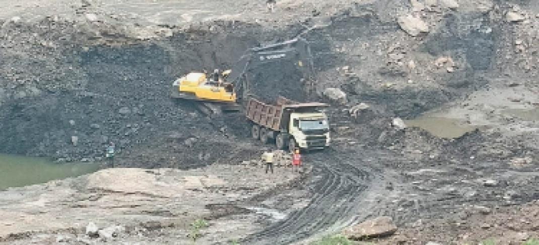
Tasra opencast coking coal mine: how much water, and from where?
Isotopes showed that 70–80% of sump water is groundwater from the fractured Barakar sandstone.
Surjagarh iron ore mine: stopping seepage before it reaches the crusher
We traced the water to a perched zone 3–7 m deep feeding NW–SE fractures, and designed a five-tier plan: surface capping to cut infiltration by 70–80%, horizontal drains and relief wells, garland drains, foundation protection and piezometer monitoring.
Groundwater baseline for a greenfield iron ore mine
Aquifer parameters, a hydrogeological framework for mine planning, and recharge options for nearby communities.
Case studies, field photos & models All 271 assignments by state